I love maps. In my house, I have an entire collection of them. If you were to stand in the center of my living room, you would see an array of maps from various sized globes, to gold-painted maps, to small cut outs from maps. Some are etched with the words, “Adventure awaits!” or “Never stop exploring!” But among all of the many maps I own, my favorites are the ones that have been removed from a dilapidated geography textbook published in 1867. Those hang framed on the wall in prominent display around a large metal compass.
One of the things that fascinates me most about these antique maps is how remarkably unchanged they seem compared to the modern maps we use today. Of course, anyone familiar with even a touch of world history knows how much the world has changed in those 150 years. Countries have merged and split, empires have come and gone, countries have been named and renamed; despite those changes though, from a big picture view, things don’t look as different as you would imagine.
If you zoom in, however, and look at a map of our own city or state, maps change much more rapidly. New streets are constructed and new houses and businesses appear almost overnight. New highways are built to accommodate growing populations and cities sprawl beyond their original boundaries, eventually connecting to the towns that used to be distant neighbors. And even though I love maps, this constant expansion makes me grateful for modern technology; the GPS that I carry around in my pocket has gotten me out of trouble more than just a time or two.
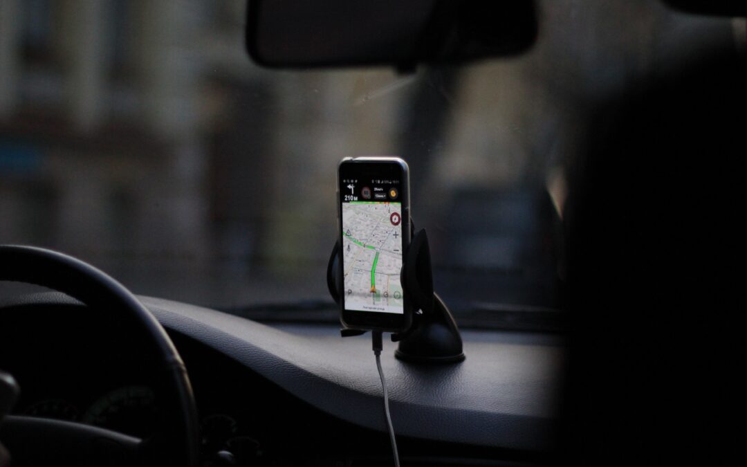
It’s crazy to think that the GPS systems that we rely on today are only about (or already, depending on the generation you belong to) 20 years old. As a millennial, it’s difficult for me to imagine using an actual paper map to get from point A to point B. While I haven’t always had a smartphone to help me get around, one of the first gifts I received after getting a car was a portable GPS. In all of my time as a driver, a map was too static to be truly useful. If too much time passed by, you just had to purchase a new map. Those original GPS systems, unlike those on our phones today, suffered from a similar issue. In order to maintain its accuracy, the system needed to be regularly updated.
Allstate promotes their insurance company by satirically playing off of this idea of updating your GPS in one of my favorite television commercials. In 2010, Allstate aired their first “Mayhem” commercial. In each of those commercials, the protagonist “Mayhem” poses as a different character or automotive catastrophe, from a deer to a tree branch to a teenage girl. In one, Mayhem poses as a GPS.
“I’m your GPS. Turn right up ahead.” As the driver turns on his turn signal, Mayhem continues, “You never update me, so now, I just need to wing it. No, I meant turn left up ahead.” The driver looks at Mayhem with slight irritation, but you can hear the clicking of the turn signal as he puts it on. At this sound, Mayhem smiles at the audience and loudly proclaims, “Recalculating! Turn right, NOW!” At his direction, the driver throws the steering wheel to the right and finds himself on a one-way street heading right into oncoming traffic as Mayhem laughs maniacally.
Since the dawn of GPS technology, the use of physical maps as navigational tools has largely fallen from popularity. Physical maps quickly end up out of date and need to be replaced. Even the early systems needed to be updated regularly to avoid “mayhem” from causing a catastrophe on the road. Thankfully, our technology has advanced from those early GPS and map-using days. We don’t need to buy a new map every few years, and our smartphones update our GPS devices automatically. It has become more and more difficult than ever to get lost. And even more advancements are happening each day, such as traffic and toll avoidance, alerting us to an upcoming accident or hazard ahead, and even communicating the speed limit on the device. All of this contributes to a perceived obsolescence of those old paper maps.
But what does this have anything to do with curriculum? Actually… quite a bit.
Curriculum mapping initiatives, especially in their infancy, are challenging. They can be tedious and are definitely time consuming. I won’t sugar coat this. If you want a good quality map of your school’s curriculum, it’s important that you dedicate true time and energy to the effort. Obviously you don’t need to map your entire curriculum in one go–Lewis and Clark couldn’t map the entire Louisiana Purchase in an afternoon–but you do need to make the investment in creating a detailed and comprehensive map.
And ultimately, once we’ve taken this first step, the term “Curriculum Map” is a pretty good way to explain what we’ve created. If we think of our ultimate course goal as a highway, with our starting point being the start of the year and our destination the year’s end, a curriculum map shows where units will take place in our school year and the distance between one skill and the next. These maps give us a “bird’s eye view” of the work we do in our classroom–and with collaboration, the entire school. But the term curriculum “map” is only good to a point.
Maps (the road kind) are static and unchanging if we don’t create a new one, but our curriculum maps shouldn’t be. Our maps aren’t just a picture for someone else to see the stops you make on the school year highway. They aren’t something to be written, stored, and then replaced in four years when they’re out of date. In fact, if we put in the effort needed for our maps to be so high quality, that effort would be completely wasted if we used them that way.
Instead, our curriculum maps should be looked at more like a “Curriculum GPS.” They should be a guide for us as teachers to get from point A to point B, building on old skills with new ones. It might not need to include every turn we make between those two points, but it should be a fluid, regularly changing document that helps us surmount the obstacles and speed bumps we may encounter throughout the year. Sometimes, as we navigate through our curriculum, we’ll find that we miss a turn or there’s a new path laid out. It’s okay–more than okay…encouraged–to recalculate our route and update our maps. It’s in these moments of recalculation that truly good teaching happens…it’s where growth happens.
A good up-to-date curriculum GPS helps us to avoid mayhem in the classroom.
Photo by Eugene Chystiakov on Unsplash